Our low cost, multi-mission, flight proven satellite bus architecture enables us to provide custom AI-driven data services faster than our competitors while spanning more industries and mission needs with fewer satellites.
By completing the data form below, we can work together efficiently to refine the scope of your data needs, unlocking the potential for more agile and convenient operations.
We are connected to a secure worldwide ground network for receiving and distributing data. Your future capabilities will be further increased as our constellation expands with increased satellites in orbit, expanding capture capacity, managing data tasking, and the efficiency of updating applications from Earth once in orbit.
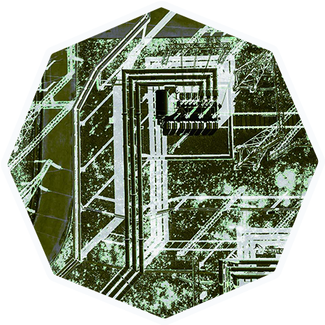
• Monitoring Gas and Oil Pipelines
Fuel, Gas & Oil
• Identifying Potential Sites for Renewable Energy Projects
• Infrastructure Health
• Predicting Yields
• Optimizing Resource Management
Energy
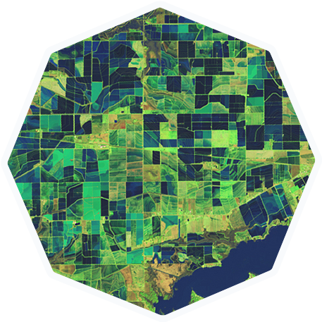
• Monitoring Crop Health
• Identifying Irrigation Issues
• Predicting Yields
• Optimizing Resource Management
Agriculture
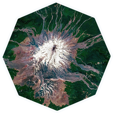
• Assessing Deforestation
• Tracking Climate Change Impacts
• Monitoring Natural Disasters
• Evaluating Urban Expansion
Environmental
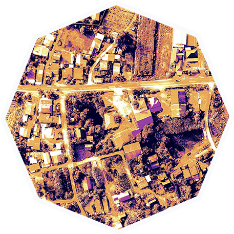
• Analyzing Land Use Patterns
• Monitoring Urban Growth
• Managing Infrastructure Development
Urban Planning
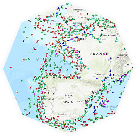
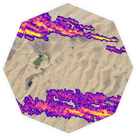
• Tracking Shipping Routes
• Identifying Illegal Fishing Activities
• Monitoring Sea and Ice Conditions
• Optimizing Resource Management
Maritime
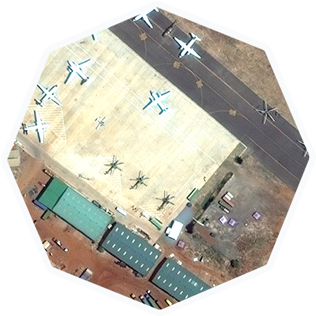
• Identifying Military Activities
• Monitoring Border Security
• Accessing the Impact of Conflicts
Security & Defense
Our goal is to help our customers with data integration. Our data services provide aggregated imagery and geospatial data all accessible through a customer portal via subscription. In addition, the collected data can be processed on-orbit using AI edge computing algorithms.